Online Shopping
- Accessories
- Books Commercial
- Books Recreational
- Boat Building, Repair & Maintenance
- Canoeing, Kayaking, Rowing
- Childrens Books
- Clymer Outboard Manuals
- Coffee Table Books
- Collectable /Limited Editions
- Cooking
- Cruising Guides
- Design
- Diving/Marine Life
- Electrics & Electronics
- Engines
- Fiction
- First Aid
- Fishing
- Fishing
- General Interest
- History
- History Australia
- History General
- History Liners
- History Naval
- Humour
- Knots
- Logbooks
- Marine Art
- Marine Stories
- Meteorology
- Modeling
- Navigation
- Power Boats
- Rigging
- RYA – Royal Yachting Association
- Sailing Basic
- Sailing Cruising General
- Sailing Multihull
- Sailing Racing
- Sailing Racing Rules
- Seamanship
- Tide Tables
- Yachting Australia
- Calendars
- Charts
- DVD & CD
- Fiction
- Gift Items
- Gift Vouchers
- Gift Wrapping
- Models
- Navigational Equipment
- NEW TITLES
- Online Training Courses
- Radio
- Sailing Watches
- Software
- Software
- Specials
- Uncategorized
Our Newsletter
Subscribe To Our Mailing List
Join our subscribe list to get the latest news and updates
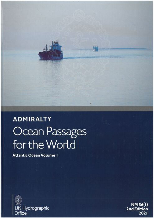
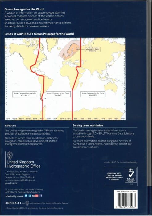
Ocean Passages for the World supports the planning of deep-sea voyages on most major routes, with details of weather, currents, ice hazards and distances between major ports.
Ocean Passages for the World inc
Individual ch
Numerous route diagrams and chartlets clearly demonstrating the effects of climate, wave heights and load line zones
ADMIRALTY QR codes to enable quick access to a list of all Notices to Mariners (NMs) that affect the publication
Also available as an e-Nautical Publication
In addition to paper format, ADMIRALTY Ocean Passages for the World is available as an e-Nautical Publication (e-NP). e-NPs bring improved efficiency, accuracy and access to information bridge crews need through electronic updating and simple search functionality.
Related products
- British ADMIRALTY Publications
NP247(2) – Annual Summary of ADMIRALTY Notices to Mariners Pt2 2023
$27.50 GST Add to cart

