Online Shopping
- Accessories
- Books Commercial
- Books Recreational
- Boat Building, Repair & Maintenance
- Canoeing, Kayaking, Rowing
- Childrens Books
- Clymer Outboard Manuals
- Coffee Table Books
- Collectable /Limited Editions
- Cooking
- Cruising Guides
- Design
- Diving/Marine Life
- Electrics & Electronics
- Engines
- Fiction
- First Aid
- Fishing
- Fishing
- General Interest
- History
- History Australia
- History General
- History Liners
- History Naval
- Humour
- Knots
- Logbooks
- Marine Art
- Marine Stories
- Meteorology
- Modeling
- Navigation
- Power Boats
- Rigging
- RYA – Royal Yachting Association
- Sailing Basic
- Sailing Cruising General
- Sailing Multihull
- Sailing Racing
- Sailing Racing Rules
- Seamanship
- Tide Tables
- Yachting Australia
- Calendars
- Charts
- DVD & CD
- Fiction
- Gift Items
- Gift Vouchers
- Gift Wrapping
- Models
- Navigational Equipment
- NEW TITLES
- Online Training Courses
- Radio
- Sailing Watches
- Software
- Software
- Specials
- Uncategorized
Our Newsletter

Subscribe To Our Mailing List
Join our subscribe list to get the latest news and updates
Or check out our newsletter archive.
NP350(2) Admiralty Distance Tables Indian Ocean Volume 2, 3rd Edition 2008
Covering:
Indian Ocean and part of the Southern Ocean from south Africa to New Zealand, Red Sea, Persian Gulf and Malay Archipelago
The Admiralty Distance Tables are a three part series of tables, sub-divided by region, giving the shortest distances between ports. There are supporting diagrams and text as well as link tables for places not in the same or adjacent table.
- Admiralty Charts and Publications
- SKU: NP3502
Related products
-
British ADMIRALTY Publications
NP294 How to keep your ADMIRALTY Products up-to-date 11th ed, 22
$71.50 GST Add to cart -
British ADMIRALTY Publications
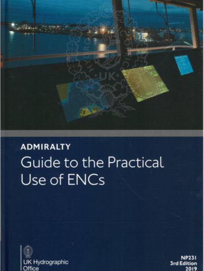
NP231 ADMIRALTY Guide to the Practical Use of ENCs (3rd, 2019)
$268.00 GST Add to cart -
British ADMIRALTY Publications
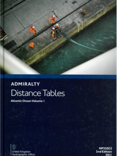
NP350(1) Admiralty Distance Tables Atlantic Ocean Volume 1, 2nd Edition
$107.50 GST Add to cart


